ABOUT
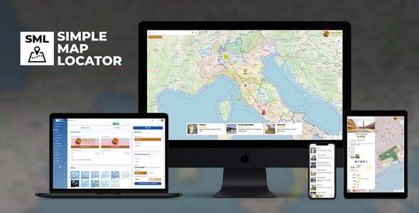
Simple Map Locator is an intuitive, ready-to-use mapping solution for your website. Through a user-friendly admin dashboard, you can effortlessly create an unlimited number of maps and custom markers. Powered by OpenStreetMap, it requires no API keys and has absolutely zero quota limits—giving you complete freedom right out of the box.BACKEND DEMO
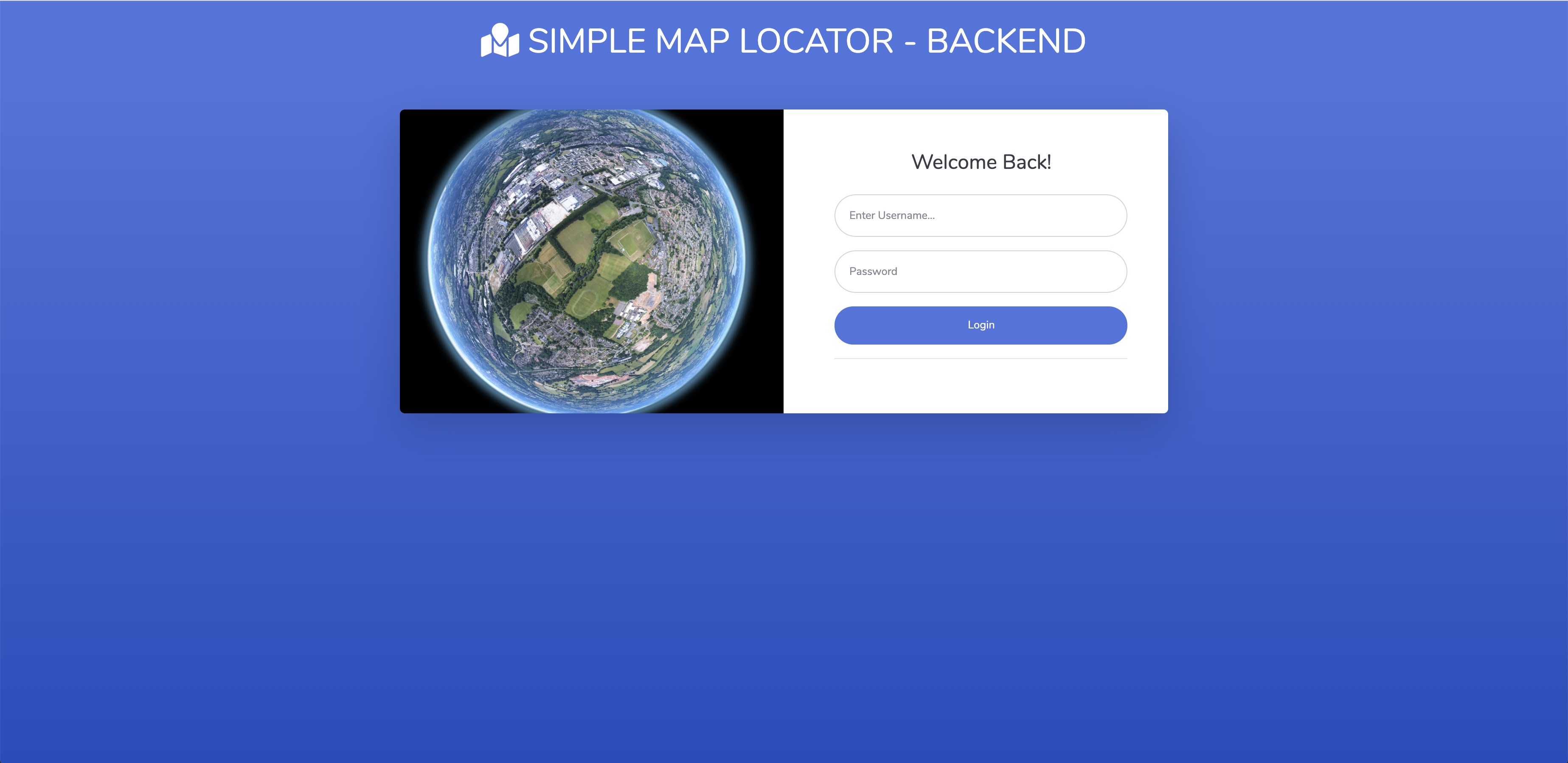
- Administrator Login (user: demo / passw: test1234)
MAP DEMO
View demo map here
NEED SUPPORT?
Open a ticket here
FEATURES VIEWER
- map with different styles (OSM, Maptiler, Here, Google, Carto, Stadia, Custom)- limit map view
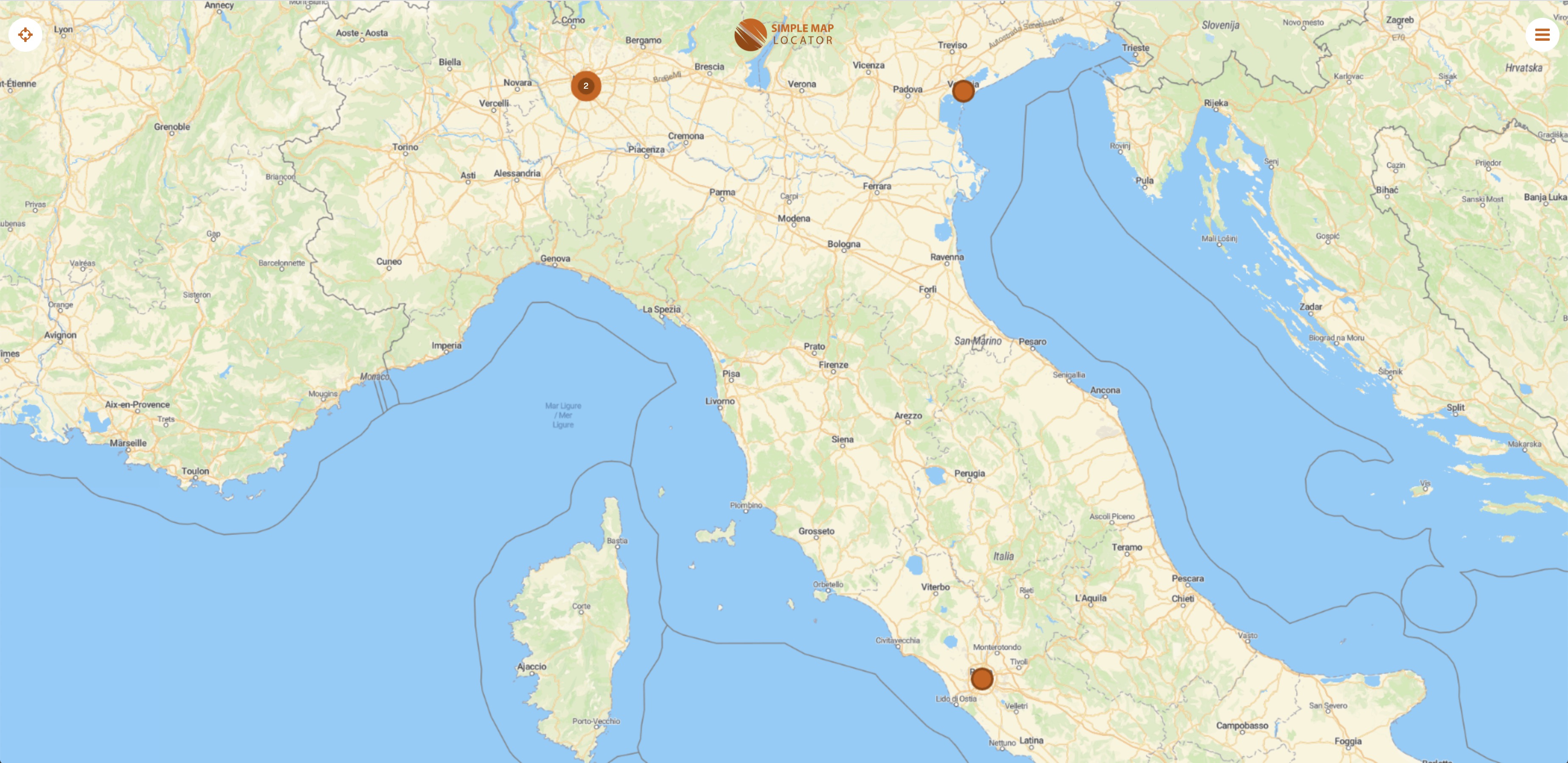
- markers with clustering and icons
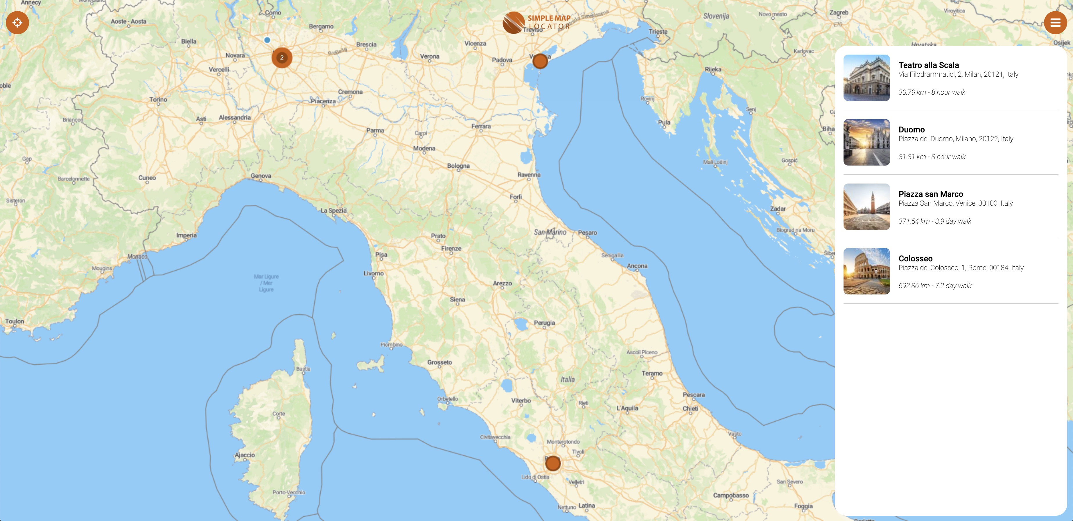
- markers list
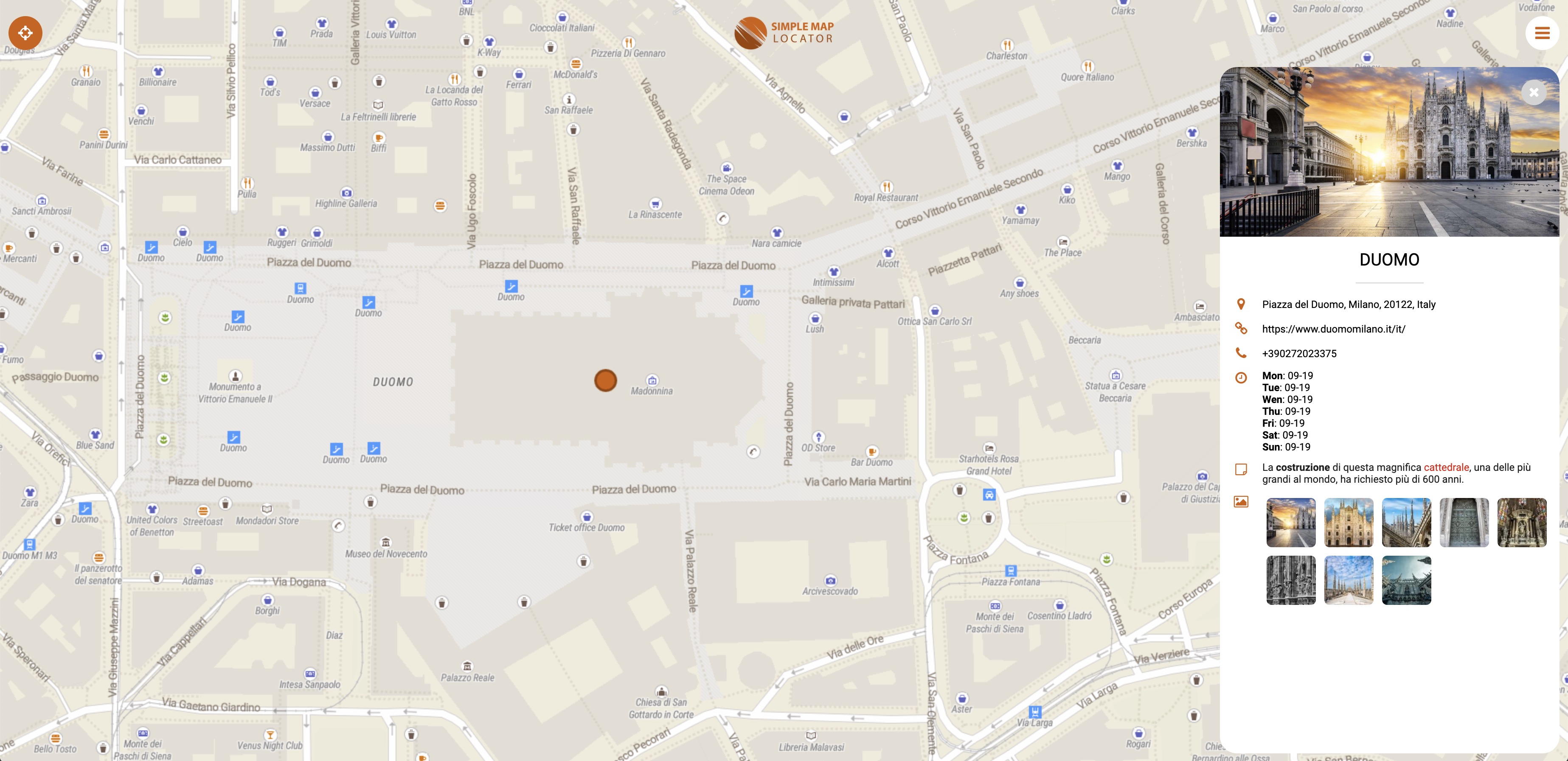
- marker’s sheet detail with images
- marker’s connection with lines
- story
- background song
- globe view
- reviews and ratings
- directions and street view links
- social share
- geolocation
- live tracking
- geoJSON, KML, KMZ, GPX, SHP
- geo images
- custom logo
. password protection
- google analytics integration
- tripadvisor integration
- responsive
- right click context menu
- pwa compatible
FEATURES BACKEND
- simple installation- built-in upgrade
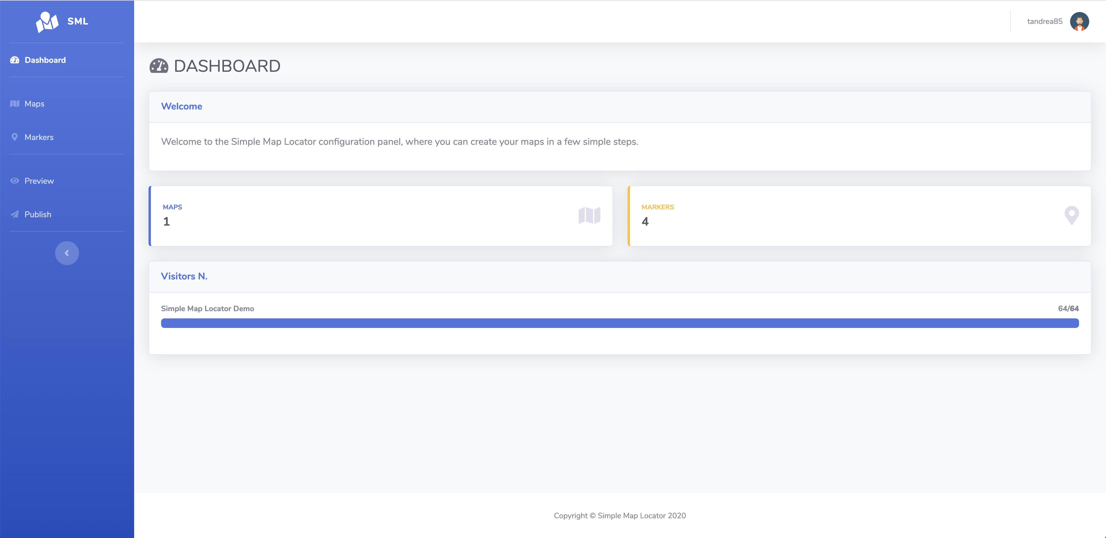
- dashboard
- create / edit customers, editors and administrators (multi users)
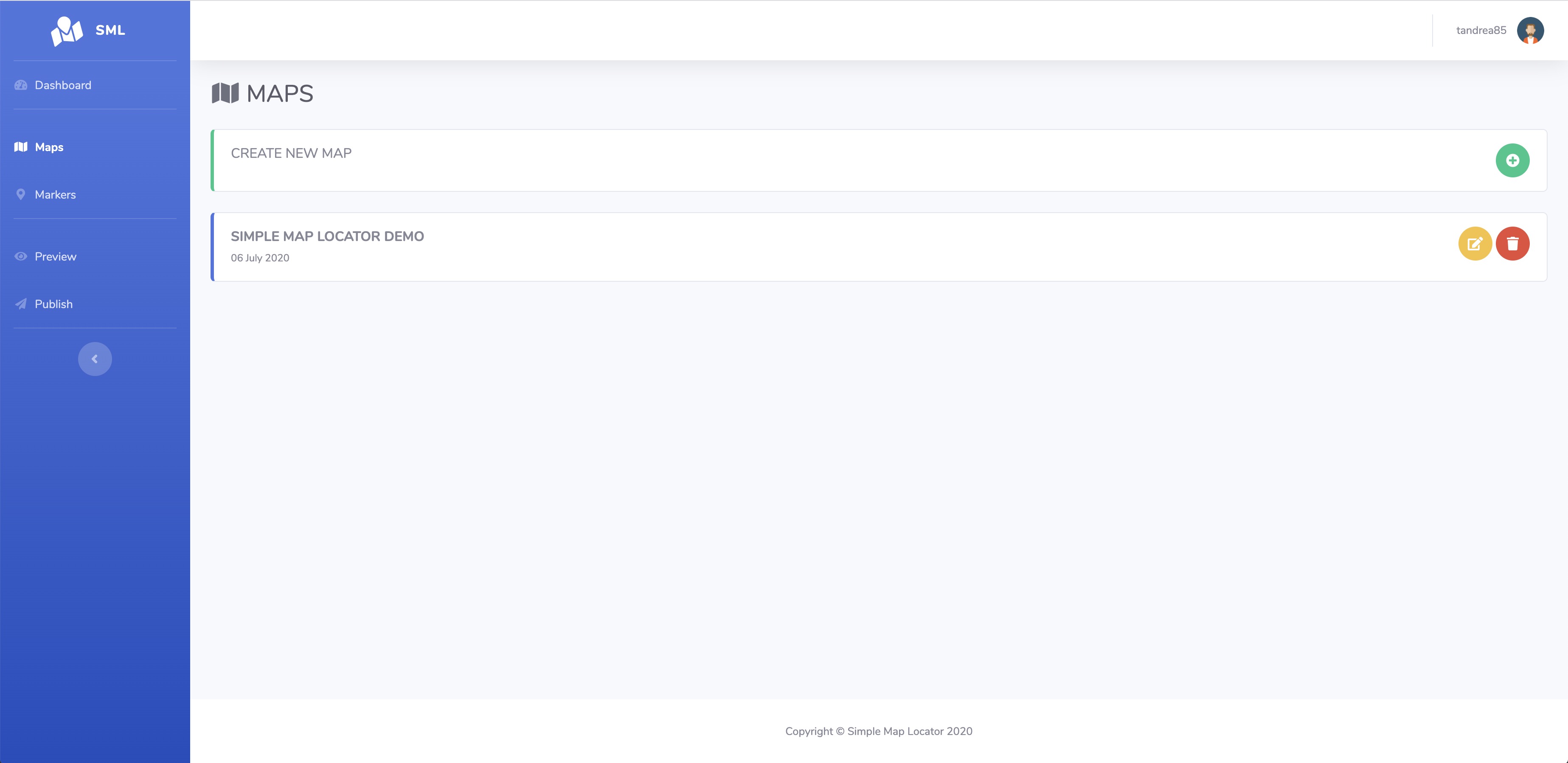
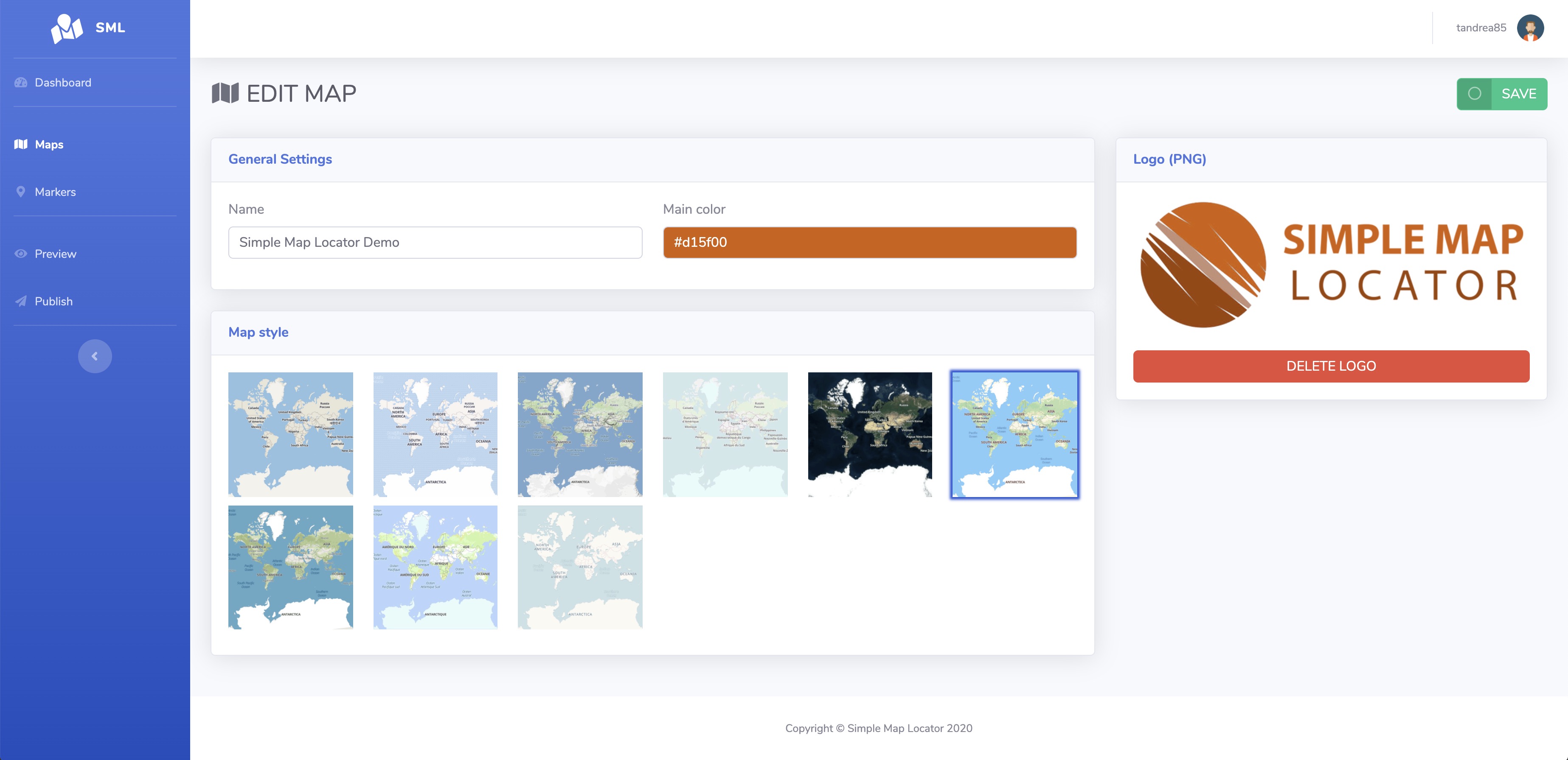
- create / edit maps (logo, style, name)
- duplicate maps
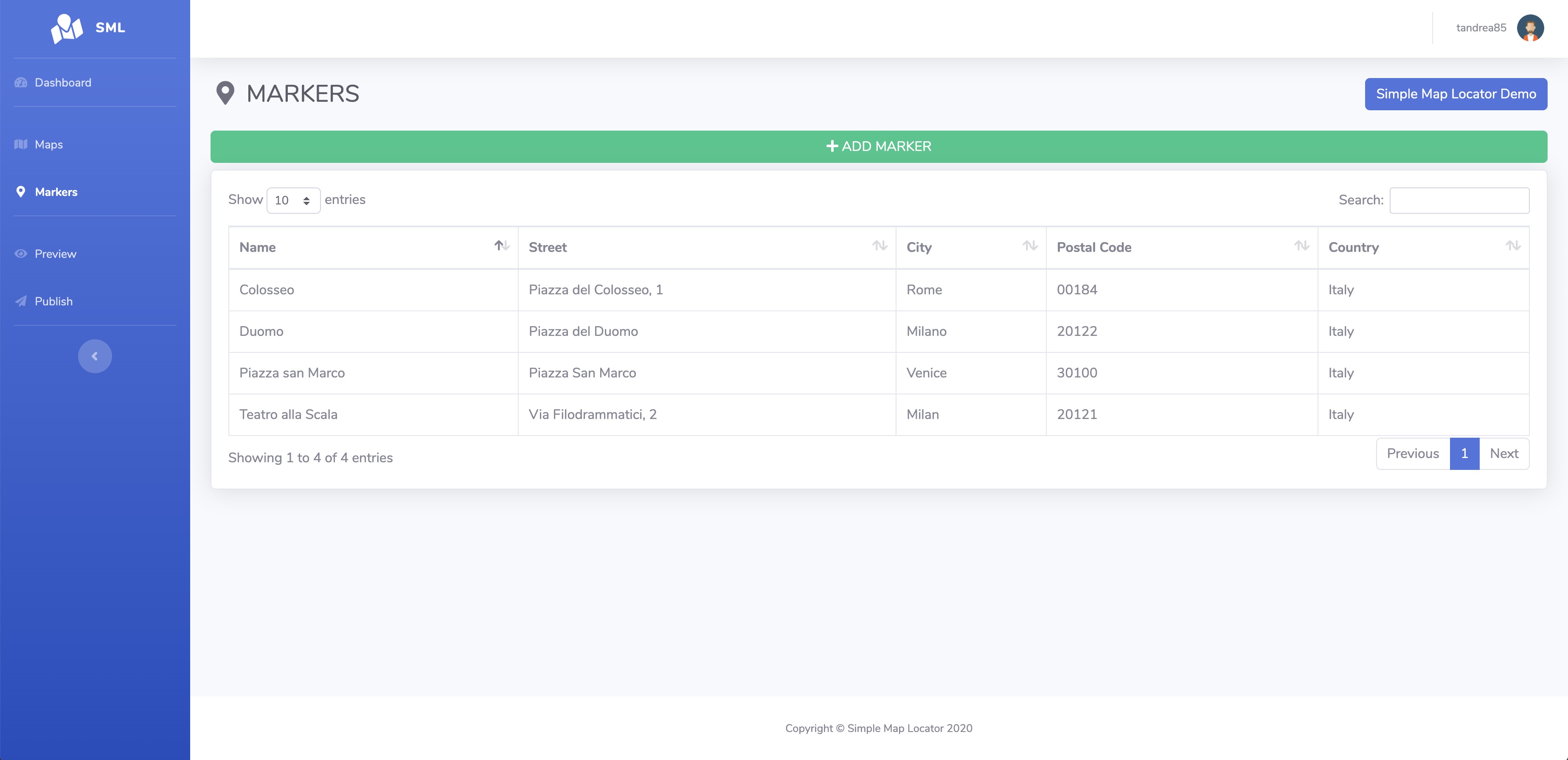
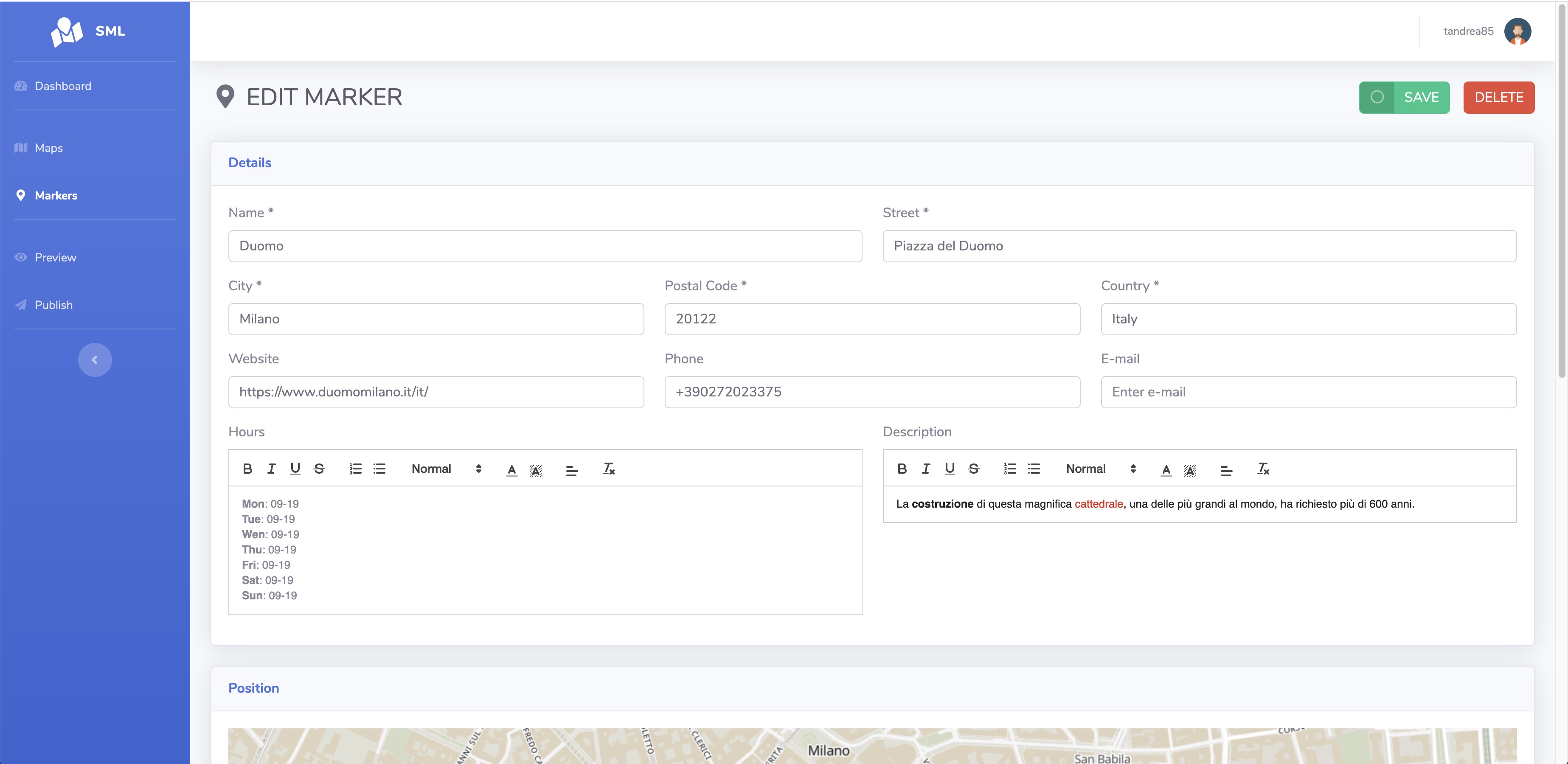
- add / edit markers (details, icon, position, images)
- draw geometries
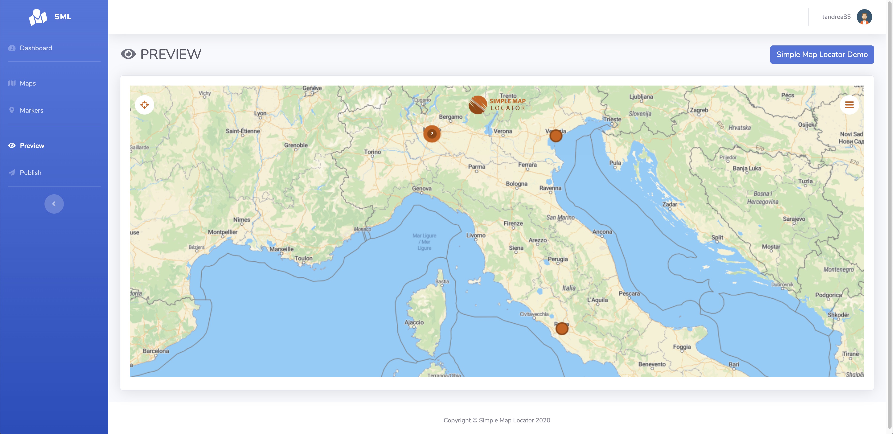
- preview
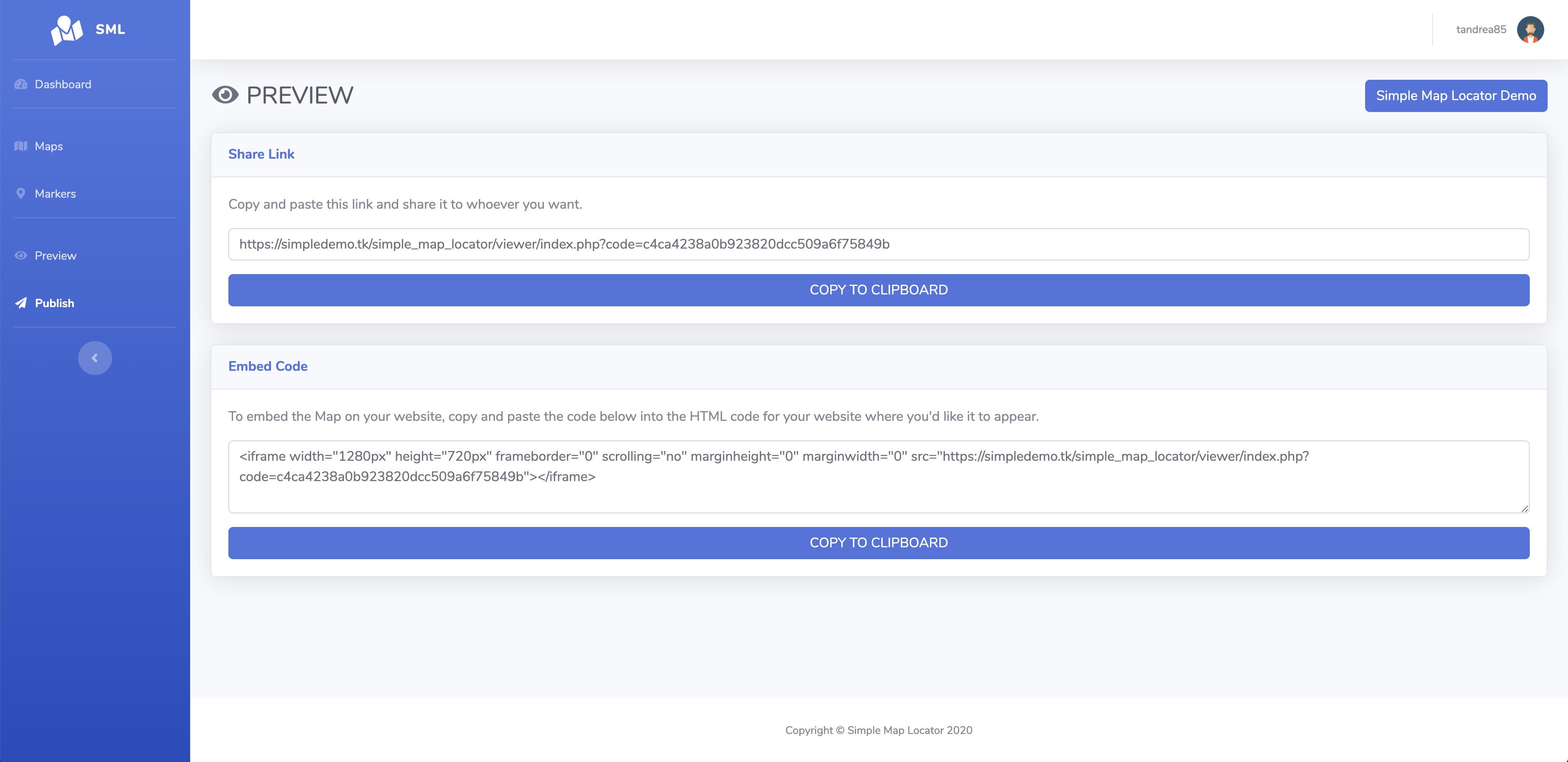
- publish (link or embed code generator)
- responsive
- multi-language
REQUIREMENTS
- PHP and MYSQLINSTALLATION
easy, and guided with a wizard, read the readme.txt for more infoCHANGELOG
6.4
- added optional deferred and dynamic viewport-based marker loading to improve performance on maps with many markers
- improved backend performance
- fixed a memory issue on edit map page
- fixed an issue that prevented the live tracking list from loading when MySQL ONLY_FULL_GROUP_BY mode was enabled
6.3
- added the ability to limit the addition of markers from the map to only certain countries
- added pause and stop buttons when listening to a marker description text
- added visitors by country statistic
- added the ability to show legal links on the map
- added the ability to toggle the measure button
- added the ability to toggle the scale indicator
- added bulk translate
- fixed an issue that prevents edit marker page crash if multiple languages are enabled
6.2.2
- fixed an issue where some antivirus programs would delete the contents of a file
6.2.1
- fixed marker size scale on direct link
6.2
- added the ability to show the last update date on marker detail window
- added the ability to upload photos directly from the map to existing markers.
- added the ability to ignore the year on schedule for markers
- added more map quality settings
- added embed code on direct link of markers
- added the ability to customize the embed code
- added step-by-step into Openrouteservice directions
- added the ability to add intermediate stops into Openrouteservice directions
- added the ability to change the start and end points from Openrouteservice directions
- added directions item on right click menu on the map
- optimized performance
- now the start time is kept in youtube/vimeo links
- now the currently active tab is preserved when navigating to the previous or next marker on edit page
- fixed updating youtube/vimeo links on marker's media
- fixed an issue where the friendly URL was not being saved on the showcase
6.1
- added Northern Sami language
- added Media library
- added the ability to select marker images from media library
- added the ability to insert youtube/vimeo videos on media and as popup detail window of markers
- added the ability to format the address on each map
- added the ability to save to favorites some icons in the picker modal
- added the ability to delete marker directly from its edit page
- added the ability to find duplicated markers
- added the ability to hide loading at startup
- now if a marker is set not visible on map is still visible if accessed from its direct link
- updated Fontawesome library
- fixed an issue adding new categories
6.0
- added featured categories
- added the ability to set continuous playback on marker's song
- added shortcuts to edit previous/next category
- added mobile preview on backend
- added global shortcut for preview the map into backend
- now address formatting is better organized
- improved display of multiple categories in markers on the map
- fixed an issue that prevented reviews and issue reports from being added
- fixed an issue deleting some story elements
- fixed an issue that caused some phones to crash when resuming from the background browser
- fixed an issue with translation description of markers
5.9
- added the ability to always show category icons and name in the markers list as well
- added the ability to insert a warning box in the marker detail and also schedule its visibility
- added the ability to set an external audio link for both maps and markers
- added the ability to set the compression and maximum size of images loaded into markers
- added the ability to set the visibility for each extra field of each individual marker
- added the ability to also hide the address fields when adding a new marker from the map
- added an option to choose whether to select only one category or multiple categories when adding a marker from the map
- added the ability to show / hide fields when adding a new marker from the map based on category selected
5.8
- added multilanguage support
- added the ability to set zoom animation duration for the markers
- added the ability to upload icons to the library that are valid for all maps
- added the ability to limits the number of markers showed in the list
- added the ability to add text content to geodata to be seen when clicking on them
- added the ability to include map and markers link in the sitemap file
- added automatically generated friendly url for markers's direct link
- optimized marker images loaded directly from the map
5.7
- added Carto and Stadia styles for maps
- added measure tool to maps
- added the ability to set the default prefix for Phone and WhatsApp fields
- added the ability to rotate marker images
- added a shortcut in the marker list to view reviews that belong to that marker
- added a loading geodata message to maps
- added webp support to geoimages
- now the marker opened in direct link is always visible even if is in a hidden category
- now the map follow the live tracking position
- fixed an issue that prevented some Android phones from opening the camera to take a photo when adding a new marker
- fixed an issue adding geoimages
5.6.1
- added support for KMZ geodata
- added the ability to set the detail window of a marker to "Open Link (Same window)"
- fixed an issue upload media on markers on some systems
- fixed default selected categories
- fixed an issue getting categories on maps on some old servers
5.6
- added the ability to report issues for the markers
- added the ability to convert position to address from markers and batch geolocate
- added support for 2th level of subcategories
- added tripadvisor integration
- added the ability to set a marker position from the uploaded marker image gps position
- added the ability to open the intro only on main link
- added Spanish (Mexico) language
- fixed an issue with scroll not returning to the top after visiting a sheet detail
- fixed contextmenu not working on IOS
- fixed an issue that display a missing icon on marker on some browsers
5.5
- added the ability to override the zoom level for each individual marker
- added the ability to sort markers by current position
- added the ability to set which fields to make mandatory when inserting markers from the map
- added the ability to select all the filter categories on the map
- added the ability to delete an entry of live tracking history
- added the ability to choose whether to use KML style for geodata
- added the ability to mass assign categories to markers
- added the ability to select the international prefix when filling in the phone number or whatsapp
- added direct link shortcut into the marker's list
- now if geolocation is set to automatic and a link to a specific location is opened the map no longer moves to the current location
- added a variable to url to force disable the initial geolocation
- fixed some missing translations on reviews
- fixed an issue with marker image uploads that sometimes didn't work properly
- fixed direct marker link not working properly when a category was auto-selected and "fit markers" was enabled
- fixed an issue with icons sometimes not display correctly on extra information of the marker
5.4
- added Openfreemap map styles
- added State and County fields to Markers
- added the ability to insert a label under the markers icon
- now live tracking history is visible under Collected Data - Live Tracking
- now the description is also shown in the marker popup
- now the direction button is also shown in the marker popup
- increased hover marker style performance on large numbers
- fixed an issue that changed the initial zoom level when a marker was opened from a direct link and geolocation was active
- fixed an issue on saving centered markers
5.3
- added the ability to toggle PWA on or off
- added the ability for the map owner to respond to reviews
- added context menu on right click to map
- added direct link to marker export file
- added average and number of ratings visualizations
- added category icons inside the detail of markers
- added the ability to assign categories to maps
- added category filter into showcase
- optimized filtering performance
- redesigned the share modal
- fixed openroute directions
5.2.1
- added extra fields name and they are shown as tooltips when you hover over the icon in the marker detail window
- added the ability to open some items automatically only on desktop or only on mobile or both
- fixed an issue with marker direct link
- fixed initial zoom not working in some case
- fixed an issue that prevented images from uploading when adding a new marker from the map
5.2
- added the ability to enable or disable the loop for the map's background song
- the marker is scaled in slightly when accessing the map with the direct marker link
- added PWA popup
- fixed an issue that prevented manual entry of negative coordinates
- fixed an issue that prevented maps from loading when embedded
5.1
- added live tracking
- added song autoplay setting
- added the ability to change default geodata styles
- added the ability to insert custom html for maps
- added clustering animation effect
- added scale unit control
- added walking time also inside the detail window
5.0
- added boundaries to limit a map view
- added background song for map
- added separated audio for each markers
- added ability to enable TTS on markers description
- added geodata shapefile support
- now when you search for a marker you can also search by entering the category name
- added the ability to change the geocoding provider: Nominatim (OSM) and Google
4.9
- added languages: Khmer, Danish, Norwegian, Estonian, Lithuanian, Latvian, Slovak, Slovenian, Ukrainian
- added the ability to change the filter mode and/or directly on the map
- added the ability to insert also videos into markers
- added the ability to sort media of the markers
- added the ability to hide media of the markers
- added the ability to auto open the info box on the map
- added soft shadows to elements on the map
- fixed an issue on some field not being imported correctly
- fixed initial my location zoom being ignored
- fixed a duplicate map issue on some systems
- fixed an issue with gifs that was causing Safari to crash
- fixed duplicate markers not working on editor user
4.8
- added customizable info content to maps
- added the ability to change the Geolocation mode, to set a different behavior when pressing the location icon
- added the ability to insert an overlay tile layer to the map
- added the ability to set min zoom for street and satellite view
- added PWA compatibility
- added RTL support
- added Bulgarian and Hebrew languages
- added support for KML of Google Earth
- added progress bar when map loading tiles
- fixed wrong position when change from street to satellite multiple times
- fixed category filter mode with no results on Geodata
- fixed max zoom setting
4.7
- added the ability to set icon for categories
- added the ability to sort categories
- redesigned the category filter's section into the map
- added the ability of excluding some categories from adding markers to the map
- added the ability to set "no results" mode for filter categories to show or not markers
- added home icon to the map to return to the initial view
- added the ability to set "My Location - Follow", to center the map on current position when moving
- added Greek language
- when add extra information to markers from the map/import, it automatically detects URLs and hyperlinks them
- changed encoding for emoji support
- added smooth zoom effect on clustered markers
4.6
- added Google as map style
- added the ability to place georeferenced images on the map
- added the ability to import geo-data (geojson,json,kml,gpx) into map
- added the ability to set the language for Here and Google map styles
- added the ability to search inside the backend map's list
- added the ability to set miles as unit map
- added the ability to open a link externally or in a modal when a marker is clicked
- added the ability to set the visibility of a marker in the map and search
- added the ability to set a map as a template for creating new ones
- added the ability to fit the map or not on the filtered markers in the categories
- now when add/edit markers into backend also geometries and geojson are displayed on the map
- now the geometry section has the correct map style configured with the road/satellite toggle
- now the marker hover style is applied even when its tab is open
- redesigned error pages and added the ability to replace them
- fixed geometries not drawn if there is no markers
- fixed default map view not being applied
- fixed marker's icons without background color
- fixed satellite style not changing correctly on backend
4.5
- added dark mode into backend
- added the ability to insert intros to maps
- reorganized the section to change the map style
- added more maptiler / here styles to maps
- added the ability to enable / disable share providers inside the backend and map settings
- added more sharing providers into maps
- added share map button
- sharing a specific marker now retrieves the marker's meta tags instead of those of the map
- added the ability to set the target (self / new window) for opening tours within showcases
- added the ability to set terms and conditions, privacy policy and cookie policy
- added the ability to enable Cookie Consent into backend / showcase / maps
- added overall statistics
- added English (British) language
- reorganized backend menu
- fixed an issue with deleting the showcase not working
- fixed an issue that prevented the default marker icon from saving
- fixed an issue exporting the markers
- fixed an issue exiting the geolocation on mobile freeze the touch on the map
4.4
- added Openroute Service integration for built-in directions
- added the ability to set a radius for search markers
- added a parameter to the url to automatically open the "add marker"
- added the ability to schedule markers
- added the ability to set the default extra fields icon
- added the ability to set which field to make visible when adding markers from the map
- added Finnish language
- updated Fontawesome icons
4.3
- added the ability to create showcases
- added map loading screen
- added the ability to select the map provider to show the directions of a marker chosen from Google, Bing, Baidu and Yandex
- added the ability to select the map provider to show the street view of a marker chosen from Google, Bing and Yandex
- added satellite view also on adding marker from backend
- added a map type for large number of markers
- added the ability to duplicate a marker into a different map
- optimized performance and loading
- fixed direction link not working on some systems
4.2
- added the ability to place a marker when hovering over search results
- added the ability to open extra content instead of marker window detail
- added the ability to insert/import marker without coordinates
- added the ability to batch geocode all the markers that not have coordinates
- added alternative font providers
- more responsive on mobile
- fixed generation of marker's QR codes
4.1.1
- fixed an issue that prevent add new markers
4.1
- added the ability to set a different logo for mobile
- added the ability to set the size of the logo
- added the ability to set an url to the logo
- added hover style colors for markers
- added the ability to upload multiple images into markers
- added the ability to set and view marker detail windows as reduced or opened on mobile
- added the ability to put custom css / js / head elements into maps and backend
- added "remember me" into login page
- added show/hide passwords on login page
- added an alternative login page style
- featured marker clicked now is highlighted
- when adding/editing a marker now the map has the same style as configured in the settings
- fixed an issue on some system that prevent open the direct marker link
4.0
- added the ability for markers to open the details window or not
- added the ability for markers to view the popup or not
- added the ability to set the marker popup image height
- added the ability to set the marker popup background and color
- added more bulk actions for markers
- upgraded the map rendering engine
- organized the markers edit page into tabs
- improved the import of the marker file exported from another map
- fixed categories not showing on adding a new marker from map
- fixed hours and description font sizes
3.9.1
- added the ability to auto-approve markers added from map
- added the ability to select multiple categories into markers added from map
- fixed scroll issue on sheet detail on mobile
- improved security
3.9
- added the ability to draws geometries on map
- added shortcuts to simplify adding extra field values
- added bulk delete markers
- extended search for all fields
- updated map access graph into statistics
- fixed geojson colors not being applied
- fixed an issue filtering by category sometimes gave empty results
3.8
- added Globe view
- added Categories Filter Type (AND / OR)
- added some graphical changes to the backend
- added the ability to share and open the link of a map into the Publish section
- added the ability to set meta tags of the map
- fixed an issue with the default language
3.7
- added weather
- added Indonesian language
- added the ability to massively assign an icon style to markers from the map or category
- now you can drag the marker to change its position on the add/edit marker sections
- when you add a new marker the map is now centered based on the previously added markers
- update the core map library
- fixed an issue with search box when geolocation is on
3.6
- added support to geoJSON
- added pop-up details when moving between markers in the story
- added an option to publish the map as the first page of your domain
- added the possibility to set the order of the markers by priority, name or city
- when adding a new marker from the map you are now asked whether to use your position or not
- fixed search issue when geolocation is on
3.5
- added featured markers
- added the ability to highlight the position of the markers when you hover the mouse over the search results
- fixed a flickering issue when there are many icons
- fixed an issue preventing review texts from wrapping
3.4
- now adding a marker from the map takes the default style set in the settings
- added the possibility to select the category in the new markers mode on the map
- added the possibility to delete images in the new markers mode on the map
- fixed an issue with editor permissions
- fixed add marker not working when geolocation is enabled
- fixed an issue that prevented the display of the marker list when the city search was active
3.3
- added Korean, Thai languages
- added the ability to search location / city into maps
- added attributions for maps
- added the possibility to set for each marker the zoom level in which it must appear
- added default style parameters for markers in map settings
- added the ability to duplicate markers
- increase quality of image icons
- fixed an issue on geolocation
- fixed an issue for some systems not displaying the markers list on the backend
3.2
- redesigned the search box which is now always visible on the map
- added the story feature that allows you to scroll through the markers in a narrative way
- added the ability to disable/enable search, list and categories filter
- added the ability to change font for maps
- added the ability to change the default view for maps (street or satellite)
- added am option to set the quality of the map
- added an option to activate geolocation on map load
- added an option to set the default zoom for geolocation
- increased number of extra fields to 20
- now import excel can also update markers if the id is provided
- improved the click of markers on mobile devices
- improved the performance of the list and the search with many markers
- fixed an issue on saving settings
- fixed an issue that prevented some markers from displaying in the backend
3.1
- restyled the viewer
- added controls arrows to loop through the markers
- added the ability to sort markers
- added the ability to add markers directly from maps
- added the validation of the markers inserted from the map
- added the ability to individually disable directions, street view and reviews buttons for markers
- added a customizable button to each markers that open a modal with an html content such iframe text or others
- added toggle button to show or hide marker connections
- on the map with a single marker some controls are hidden
- hide connection between markers not visible
3.0
- added fullscreen mode
- added parameter to set the density distance that allows you to group markers together
- added the possibility to center the map on a selected marker
- added edit next / previous marker buttons into edit marker's page
- redesigned the selection of marker icons in the backend
- added editor role with permissions
- added captcha verification for reviews
- added marker zoom's option into maps to control the zoom level when the marker is clicked
- removed empty image space from popup and sheets
- the icons in the marker detail tab have been moved and grouped under the name
- added street view link
- added popup to marker connections with customizable title and description
- added edit button shortcut near map selector
2.9.2
- fixed an issue with category filters
2.9.1
- added customizable items on backend's footer
- added Romanian language
- move delete into the marker's list
- fixed bug on adding marker
2.9
- added the ability to update the application automatically (only for administrators)
- added marker's connections to draw a line between them
- added custom map style
- added zoom controls to map
- added the ability to set background, color and size of each individual marker
- added icon preview in marker's list
- added the ability to set marker's custom fields values with html content
- added the ability to duplicate maps
- added Swedish language
- modified the import template excel with all the markers parameters
- fixed bug hide rating when review is disabled
- fixed bug on import markers
- fixed upload of icon with size too small
- fixed encoding on export csv
2.8
- added multi-language backend / viewer
- added language switcher for backend
- added the ability to change language for maps
- added the ability to change font for backend and viewer
- added the ability to change theme color for backend
- added custom logo for backend
- added custom image for login page
- added the ability to edit profile for change username, language and password
- added custom css editors for backend and viewer maps
2.7
- added whatsapp field to markers
- added preview box when hover the markers
- added pinned flag to markers to shows on top of the list
- added sub categories
- added the ability to assign a marker to multiple categories
- added categories in exported markers file
- added statistics
- added gif compatibility for icon markers
2.6
- added a button to toggle categories filter
- fixed map not showing
2.5
- fixed a bug that deletes the icon library when saving marker
- added the ability to administrators to change the user owner of the map
- added markers size
- added review system with ratings
2.4
- added cursor pointer to markers
- click the grouped markers to expand them
- added url variables &coord=xxxxx,yyyyy&zoom=z (xxxxx = lat, yyyyy = lon, z = zoom)
2.3
- improved search with also description and custom fields
- added direct links to markers and categories
- added satellite view switcher
2.2.1
- fixed import of markers
2.2
- fixed bug on generating thumbs
- fixed bug on duplicating images when saving marker multiple times
- added density color toggle to maps to displays different colors based on the density of marker grouping
- added checkbox and counts on map's categories
- reset the sort order of the marker list when geolocation is off
- added a flag to the categories to be selected as default
- the map is centered on the position of the first geolocation
- added password to protect the map
2.1
- added custom icon library
- added extra fields to markers
- website url in sheet is now clickable
- the address fields are now not mandatory
- adjust zoom on click categories to fit the markers
2.0.1
- fixed bug on sorting list
- fixed bug on search
2.0
- added categories to markers
- added filter by category on maps
1.9.1
- fixed a bug on geolocation not working on iframe
- ignoring not valid coordinates on viewer
1.9
- added an option to maps to auto show marker's list
- added default zoom option to maps
- added a search box in the marker's list
1.8
- added possibility to change single marker color
1.7
- added a button to convert marker's address to its coordinates
- fixed a bug on import excel markers
1.6
- added an active parameter to markers to enable or disable it
1.5.1
- added possibility to get coordinates with gps to set marker position
- added possibility to delete users
- bugfix on initial map loading
1.5
- added to dashboard a chart with num markers grouped by maps
- added possibility to export all markers of a map
- added possibility to activate / deactivate maps
- added friendly url to publish link with a custom url
- added google analytics integration
1.4.1
- minor bugfix on import markers
1.4
- import massive markers with excel
- added users menu backend (only for administrator): manage customers and administrators who can use the application
1.3
- added possibility to input lat / lon manually
1.2
- added marker icons (fontawesome)
- added directions button
- fixed gallery images
1.1
- maptiler integration
1.0
- initial release