

Features
- New! The map is now responsive, but you can still turn responsive off if you don’t need it
- New! You can now add pins to the map
- Runs with javascript (raphael), no flash required, support iPad and iPhone
- XML Data – States in alphabetical order
- Resizable map, you can change the size of the map directly in the XML file.
- Change all colors in XML.
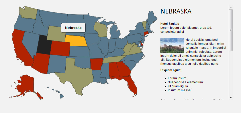
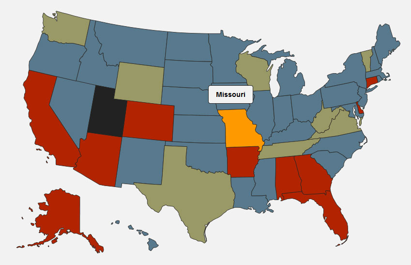
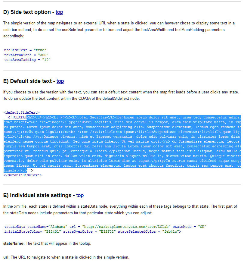
- 2 versions included, navigate to URL or display text when state is clicked.
- State names abbreviations.
- Optional text area size and padding in XML.
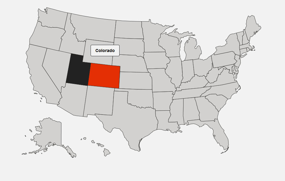
- Activate/Deactivate each state independently. In the preview, UTAH is deactivated for example.
- Full documentation included.
Updates
Update V2 – 18/10/2013
- I added an option to make the map responsive
- You can now have pins on the map
- Fixed issue with hover on text abbreviations in IE
- Cleaned up the code
Update V1.3 – 18/02/2013
- Support for jQuery 1.9.1
- Added example with text below the map
Update V1.2 – 20/11/2012
- I have added state names abbreviations on all states and created thumbnail navigation for smaller states. If you have purchased this map prior to this date and would like to update it, please re-download the files and read the new help file, I have added a “Change log” section detailing how to update your map without having to change your xml file.


